Expanding Hydrographic Operations in Mauritius
The Mauritius Hydrographic Service is making significant strides in the realm of hydrographic surveying and ocean mapping, as it continues to transition towards modern technologies and international cooperation.
Established in November 2013, the Hydrographic Unit of Mauritius was created with the mission to develop indigenous hydrographic surveying capabilities. Since then, the unit has been actively working towards this goal, with a focus on several key areas. These include transitioning to GIS-based processing and data compilation tools, establishing maintenance and support procedures for specialized equipment, providing a legal framework for hydrographic services, developing deep sea surveying capability, and procuring advanced hydrographic equipment.
One of the unit's most notable achievements is the survey of 78 passes around Mauritius. This initiative aims to improve navigation through the passes and enhance disaster management capabilities. To date, 28 passes have been surveyed, marking a significant step towards improving the safety and efficiency of maritime travel in the region.
The Hydrographic Unit has also finalized a charting scheme consisting of 14 navigational charts covering Mauritius and other Islands, in consultation with the National Hydrographic Office, India. These charts have been accorded INT status, signifying their international recognition and utility.
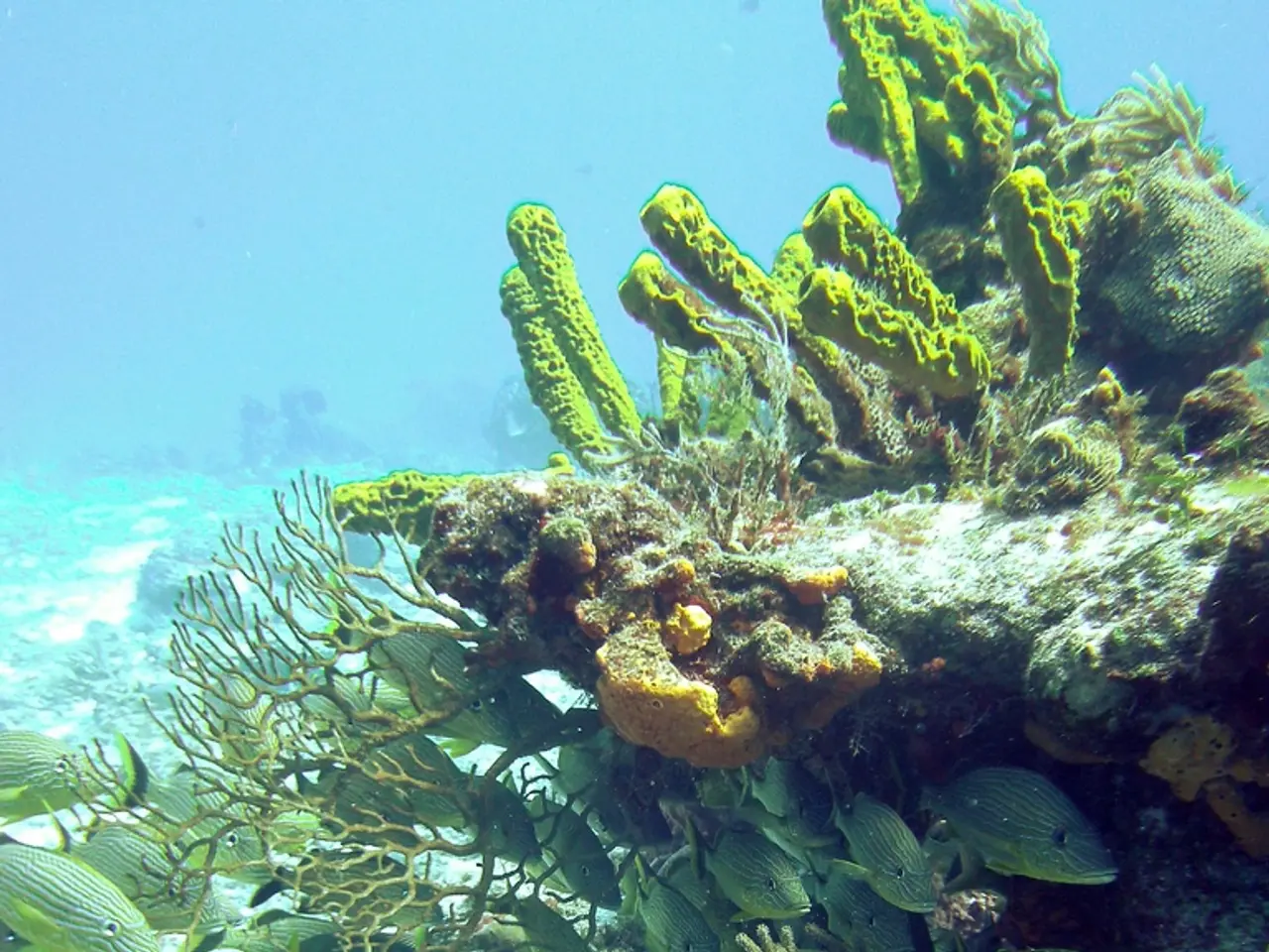
In terms of equipment, while the specific models used by the Hydrographic Unit are not publicly specified, the emphasis on seabed mapping suggests the use or interest in advanced hydrographic tools such as high-precision oceanographic sensors, multibeam echosounders, autonomous underwater vehicles, and other modern marine survey technologies.
Mauritius is also actively engaged in international cooperation, particularly through regional commissions and seminars that provide knowledge exchange and skill development opportunities. This is exemplified by the 2025 World Hydrography Day event, which likely included training components and expert discussions on hydrographic advancements and applications.
As a member of the Southern African and Islands Hydrographic Commission, Mauritius is positioned as a leader in the region, implying partnerships with neighboring countries and international hydrographic organizations to enhance hydrographic survey standards, data sharing, and maritime domain awareness. This regional engagement enhances Mauritius’ capabilities and supports adherence to international hydrographic norms.
Looking ahead, the Hydrographic Unit aims to expand and modernize its hydrographic survey capacity, likely investing further in cutting-edge hydrographic technologies and international collaboration to support maritime safety, sustainable ocean use, and regional leadership in hydrography. This focus on enhancing seabed mapping capabilities and maintaining regional leadership in hydrography is a testament to Mauritius' commitment to advancing hydrographic surveying and ocean mapping in the region.
In addition to its focus on seabed mapping, the Hydrographic Unit also aims to carry out hydrographic surveys, provide quality training, develop hydrographic research capability, provide nautical information, provide hydrographic and geodetic data for the delimitation of maritime zones, promote technical cooperation, provide training to surveyors, and cooperate with other stakeholders.
The Hydrographic Unit has already made significant strides in these areas, providing hydrographic services to various national organizations and contributing to initiatives such as the extended continental shelf claim east of Rodrigues.
In summary, the Mauritius Hydrographic Service is a regional leader in hydrography, with a focus on modernization, international cooperation, and the enhancement of seabed mapping capabilities. The unit's efforts are aimed at supporting maritime safety, sustainable ocean use, and regional leadership in hydrography.
- The Mauritius Hydrographic Service, a leader in the region, is committed to advancing environmental-science, particularly in the coastal zone management, as evident in their focus on hydrographic surveying and ocean mapping.
- In terms of education-and-self-development, the Hydrographic Unit hosts training programs for surveyors and participates in expert discussions on hydrographic advancements and applications, as demonstrated by events like the 2025 World Hydrography Day.
- To ensure safety of navigation, the unit has surveyed 28 passes around Mauritius and developed a charting scheme consisting of 14 navigational charts, which have been accorded INT status, signifying their international recognition and utility.
- For financial sustainability, the Hydrographic Unit invests in cutting-edge hydrographic technologies and collaborates with international hydrographic organizations, such as the Southern African and Islands Hydrographic Commission, to increase data sharing and maritime domain awareness.
- With a keen interest in sports and lifestyle, the unit aims to promote technical cooperation and work with other stakeholders, fostering a harmonious and efficient maritime environment that caters to various uses, including leisure and recreation.
- Lastly, the Hydrographic Service leverages technology to achieve its objectives, employing or showing interest in modern marine survey tools like high-precision oceanographic sensors, multibeam echosounders, and autonomous underwater vehicles, while also utilizing science and space-and-astronomy to further enhance its hydrographic efforts.


